The World's Best Aerials
Studio Quality. Indie Prices.
Contact
Blog
Faq
Account
Login / Signup
Videos
Photos
Aerial Stock Footage
Aerial Stock Photos
Playlist
Reels
Faq
Blog
Contact
Account
Login / Signup
North America
>
United States
>
California
>
Northern California
>
Bay Area, CA
>
East Bay Area, CA
>
Contra Costa County, CA
Filter Results
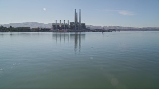
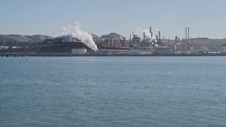
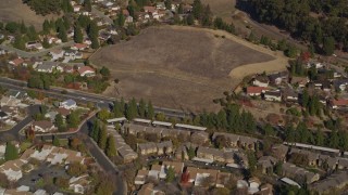
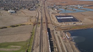
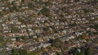
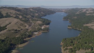
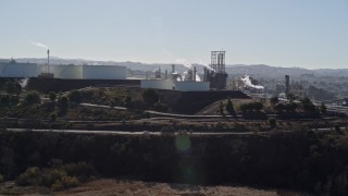
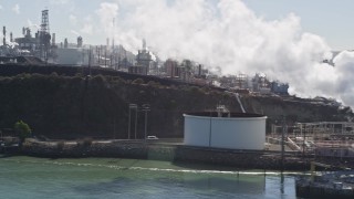
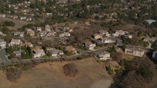
Contra Costa County, California Aerial Stock Footage - 61 Videos
61 results of
Contra Costa County, California
Aerial Stock Video Footage available in 4K, 4K UHD H264 & 4K LOG | Page 1 of 2
Display
60
120
240
600
Thumbnails
Small
Large
Sort by
Popular
Date (Newest to Oldest)
Date (Oldest to Newest)
Duration
Filter
61 results found
«
1
2
»
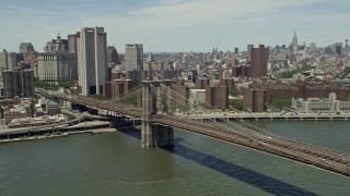
AXSF08_046
0:48
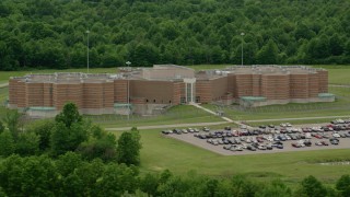
AXSF08_045
0:26
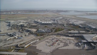
AXSF08_086
0:17
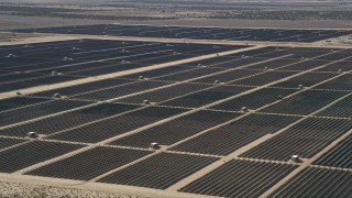
AXSF08_043
1:11
AXSF08_044
0:12
AXSF08_054
0:24
AXSF08_084
0:39
AXSF08_015
0:26
AXSF08_047
0:34
AXSF08_052
0:22
AXSF08_096
0:29
AXSF08_022
0:29
AXSF09_009
0:42
AXSF08_055
0:16
AXSF08_016
0:17
AXSF08_017
0:32
AXSF08_095
0:50
AXSF08_090
0:16
AXSF08_049
0:25
AXSF08_057
0:08
AXSF08_014
0:36
AXSF08_020
0:51
AXSF08_083
0:12
AXSF08_021
0:11
AXSF09_004
0:21
AXSF08_089
0:20
AXSF08_056
0:09
AXSF09_010
0:34
AXSF08_092
0:13
AXSF08_028
0:51
AXSF08_091
0:22
AXSF08_061
0:18
AXSF08_030
1:11
AXSF08_060
0:06
AXSF08_019
0:19
AXSF08_087
0:19
AXSF08_012
0:23
AXSF09_011
0:51
AXSF08_050
0:25
AXSF08_088
0:26
AXSF08_082
0:09
AXSF08_094
0:16
AXSF09_005
0:15
AXSF08_013
0:31
AXSF08_023
0:12
AXSF08_018
0:23
AXSF08_048
0:11
AXSF08_053
0:07
AXSF08_085
0:21
AXSF09_003
0:12
AXSF09_001
0:18
AXSF09_002
0:05
AXSF08_027
0:26
AXSF08_093
0:51
AXSF08_051
0:16
AXSF08_063
0:09
AXSF08_059
0:31
AXSF08_058
0:14
AXSF09_007
0:15
AXSF09_006
0:17
61 results found
«
1
2
»
New
Save
Share
View
Add All
Clear All
Untitled Playlist
(0)
PLAYLIST