Filter Results

Loading..

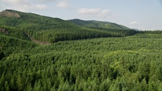
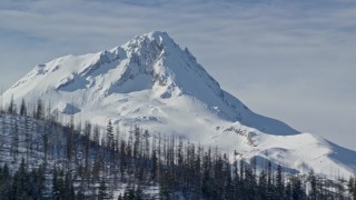
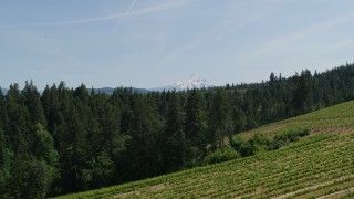
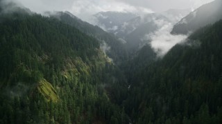
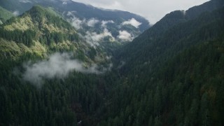
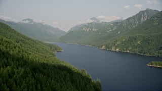
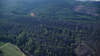
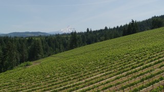
Oregon Aerial Stock Footage - 1056 Videos

1056 results of Oregon Aerial Stock Video Footage available in 5.1K RAW, HD 1080, 4K UHD, 5.5K RAW, 4K, 4K UHD H264, 4K LOG, 5.7K D-LOG & 4K UHD D-LOG | Page 1 of 18

Display
Thumbnails
Sort by
1056 results found
AX55_038E - 5K aerial stock footage of following Burnside Street Bridge, approaching Downtown Portland, Oregon, night

AX55_038E

AX53_106 - 5K aerial stock footage of orbiting the Intel Ronler Acres campus, Hillsboro, Oregon

AX53_106

AX48_082_DFN - 4K day for night color corrected aerial stock footage of a vast evergreen forest on a ridge in the Cascade Range, Washington

AX48_082_DFN

AX154_115E - 5.5K aerial stock footage tilting from forest to reveal clouds and Mount Hood, Cascade Range, Oregon

AX154_115E

AX154_062E - 5.5K aerial stock footage flying over thick cloud layer to approach snowy Mount Hood, Cascade Range, Oregon

AX154_062E

AX48_067_DFN - 4K day for night color corrected aerial stock footage of a forest road through newer forest growth area near the Cascade Range, King County, Washington

AX48_067_DFN

AX48_058_DFN - 4K day for night color corrected aerial stock footage of evergreen forest, reveal the South Fork Tolt Reservoir, Cascade Range, Washington

AX48_058_DFN

AX154_081E - 5.5K aerial stock footage of Mount Hood with snowy slopes, Mount Hood, Cascade Range, Oregon

AX154_081E

AX52_115E - 5K aerial stock footage of approaching Intel Ronler Acres campus in Hillsboro, Oregon

AX52_115E

AX53_058 - 5K aerial stock footage fly by high-rise district revealing cityscape, South Waterfront and Downtown Portland, Oregon

AX53_058

AX155_140E - 5.5K aerial stock footage of Mount Hood and Downtown Portland at sunset, seen from evergreen forest and hills in Northwest Portland, Oregon

AX155_140E

AX48_058 - 5K aerial stock footage of flying over evergreen forest to reveal the South Fork Tolt Reservoir, Cascade Range, Washington

AX48_058

AX154_123E - 5.5K aerial stock footage of a summit of a mountain peak behind a ridge with dead evergreens, Mount Hood, Cascade Range, Oregon

AX154_123E

DX0001_009_015 - 5.7K aerial stock footage of flying over grapevines at Phelps Creek Vineyards toward Mount Hood in Hood River, Oregon

DX0001_009_015

AX154_078E - 5.5K aerial stock footage of snow-covered Mount Hood, Cascade Range, Oregon

AX154_078E

AX154_046E - 5.5K aerial stock footage following Eagle Creek Trail over misty clouds in the Cascade Range, Hood River County, Oregon

AX154_046E

AX155_190E - 5.5K aerial stock footage of Downtown Portland skyline seen while flying by Willamette River bridges at twilight, Oregon

AX155_190E

DX0001_009_016 - 5.7K aerial stock footage of flying over trees toward Mount Hood, and reveal Phelps Creek Vineyards in Hood River, Oregon

DX0001_009_016

AX56_051 - 5K aerial stock footage of bird's eye view of State Route 202 through evergreen forest, Clatsop County, Oregon

AX56_051

AX154_064 - 5.5K aerial stock footage tilting from Lost Lake to reveal snowy summit of Mount Hood, Cascade Range, Oregon

AX154_064

AX154_070E - 5.5K aerial stock footage of the summit of Mount Hood with snow and low clouds, Mount Hood, Cascade Range, Oregon

AX154_070E

AX53_104 - 5K aerial stock footage fly by BPA Keeler Substation, Hillsboro, Oregon

AX53_104

AX53_001E - 5K aerial stock footage of flying by residential, fields and the Oregon National Primate Research Center, Hillsboro

AX53_001E

AX155_202 - 5.5K aerial stock footage flying over Hawthorne Bridge, and pass the downtown skyline at twilight, Downtown Portland, Oregon

AX155_202

AX48_059 - 5K aerial stock footage fly over evergreen trees on mountain slope next to the South Fork Tolt Reservoir, Cascade Range, Washington

AX48_059

AX153_001 - 5.5K aerial stock footage of the Intel manufacturing plant at Intel Ronler Acres Campus and low clouds, autumn, Hillsboro, Oregon

AX153_001

AX52_033E - 5K aerial stock footage of low flight over North Fork Toutle River, approach Mount St. Helens, Washington

AX52_033E

AX154_041E - 5.5K aerial stock footage approaching the Eagle Creek Trail canyon in Cascade Range, Hood River County, Oregon

AX154_041E

AX56_044_DFN - 4K day for night color corrected aerial stock footage of evergreen forest, reveal a hillside clear cut area in Clatsop County, Oregon

AX56_044_DFN

AX56_004E - 5K aerial stock footage approach a farmhouse beside a country road in Hillsboro, Oregon

AX56_004E

AX154_139E - 5.5K aerial stock footage flying lava flow and evergreen forest in Parkdale, Oregon

AX154_139E

AX53_031E - 5K aerial stock footage video fly over city skyscrapers and high-rises, Downtown Portland, Oregon

AX53_031E

AX53_004E - 5K aerial stock footage of Nike Headquarters beside a lake, Beaverton, Oregon

AX53_004E

DX0001_010_038 - 4K aerial stock footage approaching and flying over the Marquam Bridge, I-5, Downtown Portland, Oregon

DX0001_010_038

DX0001_009_007 - 5.7K aerial stock footage of a reverse view of Mount Hood seen from hillside Phelps Creek Vineyards in Hood River, Oregon

DX0001_009_007

AX53_081 - 5K aerial stock footage of Interstate 5 and 405 interchange pan to Medical Center, North Portland, Oregon

AX53_081

AX153_072 - 5.5K aerial stock footage of USS Blueback submarine docked in Southeast Portland, Oregon

AX153_072

DX0001_010_044 - 5.7K aerial stock footage of the Marquam Bridge, and OMSI in the foreground, Southeast Portland, Oregon

DX0001_010_044

AX53_099 - 5K aerial stock footage tilt down to bird's eye of a residential neighborhood, Beaverton, Oregon

AX53_099

AX154_090E - 5.5K aerial stock footage orbiting Timberline Lodge beside snowy forest on Mount Hood, Cascade Range, Oregon

AX154_090E

DX0001_017_003 - 5.7K aerial stock footage low altitude fly over of vineyard on hillside with view of Mt Hood, Hood River, Oregon

DX0001_017_003

AX53_086 - 5K aerial stock footage of Providence Park, Major League Soccer Stadium, Portland, Oregon

AX53_086

DX0001_015_015 - 5.7K aerial stock footage approach and descend toward vineyards with a view of Mt Hood, Hood River, Oregon

DX0001_015_015

DX0001_017_021 - 5.7K aerial stock footage of Phelps Creek Vineyards with Mount Hood in the background, Hood River, Oregon

DX0001_017_021

AX154_223 - 5.5K aerial stock footage flying away from Portland International Airport, Oregon

AX154_223

AX48_059_DFN - 4K day for night color corrected aerial stock footage of evergreen trees on mountain slope next to the South Fork Tolt Reservoir, Cascade Range, Washington

AX48_059_DFN

DX0001_013_027 - 5.7K aerial stock footage flying over condominiums toward downtown skyscrapers, sunset, Downtown Portland, Oregon

DX0001_013_027

AX154_254 - 5.5K aerial stock footage flying by Intel Ronler Acres Campus, Hillsboro, Oregon

AX154_254

DX0001_015_023 - 5.7K aerial stock footage fly over grapevines to approach orchards and Mt Hood in the distance, Hood River, Oregon

DX0001_015_023

AX155_065 - 5.5K aerial stock footage approaching Providence Park beside Lincoln High School's football field Portland, Oregon

AX155_065

AX48_087_DFN - 4K day for night color corrected aerial stock footage of a group of tall evergreen trees in the Cascade Range, Washington

AX48_087_DFN

AX52_100 - 5K aerial stock footage fly over crop fields in Riverview, Oregon

AX52_100

AX56_077E - 5K aerial stock footage fly over homes, an RV park, and Hammond Marina beside the Columbia River in Warrenton, Oregon

AX56_077E

DX0001_016_026 - 5.7K aerial stock footage fly over grapevines and pan to reveal Mt Hood, Hood River, Oregon

DX0001_016_026

AX54_005E - 5K aerial stock footage of flying by Nike Headquarters, Beaverton, Oregon, sunset

AX54_005E

DX0001_012_009 - 5.7K aerial stock footage of MAX Light Rail on Steel Bridge near arenas, Northeast Portland, Oregon

DX0001_012_009

AX154_069 - 5.5K aerial stock footage of Mt Adams' snowy summit in the distance and low cloud cover, Mount Adams, Cascade Range, Oregon

AX154_069

AX153_053E - 5.5K aerial stock footage approach and fly over Marquam and Hawthorne Bridge toward skyline, Downtown Portland, Oregon

AX153_053E

AX53_098 - 5K aerial stock footage fly by Nike Headquarters nestled among trees, Beaverton, Oregon

AX53_098

AX154_024E - 5.5K aerial stock footage following the river and I-84 toward islands in the Columbia River Gorge

AX154_024E

1056 results found
New   Save View   Add All Clear All Untitled Playlist(0)