Filter Results

Loading..

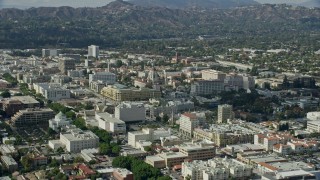
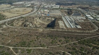
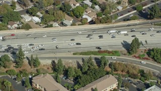
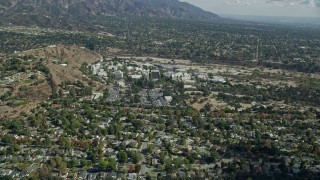
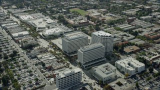
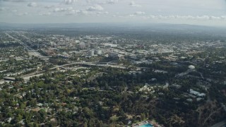
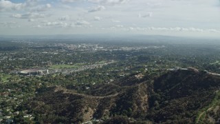
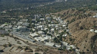
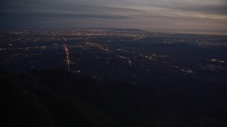
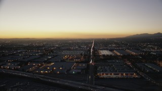
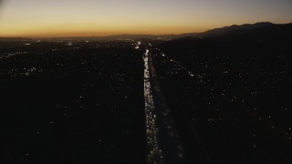
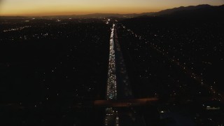
San Gabriel Valley, Los Angeles Aerial Stock Footage - 60 Videos

60 results of San Gabriel Valley, Los Angeles Aerial Stock Video Footage available in 5.1K RAW, HD 1080, 4K UHD RAW, 4K UHD, 7.6K RAW, 4K, 4K UHD H264 & 4K LOG | Page 1 of 1

Display
Thumbnails
Sort by
60 results found
AX0159_130E - 7.6K aerial stock footage following the I-10 freeway between homes and Forest Lawn Covina Hills Cemetery, Covina, California

AX0159_130E

AX0159_078E - 7.6K aerial stock footage close up orbiting of research and development buildings on JPL campus, Pasadena, California

AX0159_078E

CAP_012_016 - HD stock footage aerial video of the Santa Anita Park horse racing track in Arcadia, California

CAP_012_016

AX0159_087E - 7.6K aerial stock footage orbiting Rose Bowl Stadium, Pasadena

AX0159_087E

AX0159_115E - 7.6K aerial stock footage orbiting the Santa Anita Park horse racing track in Arcadia, California

AX0159_115E

AX0159_124 - 7.6K aerial stock footage of the City of Hope Medical Center in Duarte, California

AX0159_124

AX0159_067E - 7.6K aerial stock footage orbiting research buildings on the JPL campus, Pasadena, California

AX0159_067E

AX0159_112E - 7.6K aerial stock footage of a bird's eye and reverse view of the Santa Anita Park horse race track in Arcadia, California

AX0159_112E

AX0008_066 - 5K aerial stock footage of approaching Jet Propulsion Laboratory at night in Pasadena, California

AX0008_066

AX0159_126 - 7.6K aerial stock footage of a brewery next to solar panels in Irwindale, California

AX0159_126

AX0159_120E - 7.6K aerial stock footage of a reverse view of traffic stopped by CHP on 210 Freeway in Arcadia, California

AX0159_120E

AX0159_104E - 7.6K aerial stock footage flying over an office building to approach Pasadena City Hall, California

AX0159_104E

AX0159_134 - 7.6K aerial stock footage flying by tract homes in a peaceful neighborhood in Pamona, California

AX0159_134

AX0159_127 - 7.6K aerial stock footage flying by a large gravel quarry in Irwindale, California

AX0159_127

AX0159_071E - 7.6K aerial stock footage flying away from research and development center, JPL, Pasadena, California

AX0159_071E

AX0159_070 - 7.6K aerial stock footage of reverse orbit of the Jet Propulsion Laboratory campus, Pasadena, California

AX0159_070

AX0159_098E - 7.6K aerial stock footage orbiting Pasadena City Hall and reveal the Downtown Los Angeles skyline, Pasadena, California

AX0159_098E

AX0159_125 - 7.6K aerial stock footage of an open pit next to a brewery in Irwindale, California

AX0159_125

AX0159_119 - 7.6K aerial stock footage orbiting traffic stopped by CHP on the 210 Freeway in Arcadia, CA

AX0159_119

AX0159_085E - 7.6K aerial stock footage tilting down to bird's eye of buildings on the JPL campus, Pasadena, California

AX0159_085E

CAP_012_013 - HD stock footage aerial video of Rose Bowl Stadium in Pasadena, California

CAP_012_013

AX0159_076E - 7.6K aerial stock footage of a reverse shot of scientific facility buildings, JPL, Pasadena, Caliofrnia

AX0159_076E

AX0159_132 - 7.6K aerial stock footage approaching the Cal Poly parking garage in Pomona, California

AX0159_132

AX0159_080 - 7.6K aerial stock footage of a Jet Propulsion Laboratory campus against the hillside, Pasadena, California

AX0159_080

FG0001_000150 - 4K aerial stock footage of upscale hillside homes in Pasadena, California

FG0001_000150

AX0159_095E - 7.6K aerial stock footage orbiting away from City Hall and businesses, Pasadena, California

AX0159_095E

AX0159_133 - 7.6K aerial stock footage of a reverse view of the I-10 / Hwy 57 / Hwy 71 Interchange in Pamona, California

AX0159_133

AX0159_111 - 7.6K aerial stock footage of office buildings and a large warehouse beside I-210 in Pasadena, California

AX0159_111

AX0159_135 - 7.6K aerial stock footage approaching and tilt to light traffic on the Hwy 60 & Hwy 71 Interchange in Pamona, California

AX0159_135

AX0008_063 - 5K aerial stock footage approach Jet Propulsion Lab from San Gabriel Mountains at Night, California

AX0008_063

AX0159_073E - 7.6K aerial stock footage of the JPL campus, Pasadena, California

AX0159_073E

CAP_012_017 - HD stock footage aerial video flyby the Santa Anita Park horse racing track in Arcadia, California

CAP_012_017

CAP_012_015 - HD stock footage aerial video approach the Santa Anita Park horse racing track in Arcadia, California

CAP_012_015

AX0159_118 - 7.6K aerial stock footage flying by and away from Santa Anita Park horse race track in Arcadia, California

AX0159_118

AX0159_081E - 7.6K aerial stock footage of the parking garage and research buildings at JPL, Pasadena, California

AX0159_081E

CAP_012_014 - HD stock footage aerial video approach Pasadena City Hall in Pasadena, California

CAP_012_014

AX0159_123 - 7.6K aerial stock footage approaching the City of Hope Medical Center in Duarte, California

AX0159_123

AX0159_108E - 7.6K aerial stock footage orbiting office buildings in Pasadena, California

AX0159_108E

AX0159_093E - 7.6K aerial stock footage flying over office buildings and retail areas in Old Pasadena, California

AX0159_093E

AX0159_092 - 7.6K aerial stock footage flying over hilltop toward residential neighborhoods below, Pasadena, California

AX0159_092

AX0159_083E - 7.6K aerial stock footage flying over JPL facility toward neighboring suburban houses; Pasadena, California

AX0159_083E

AX0159_101E - 7.6K aerial stock footage flying by Pasadena City Hall, office buildings, and 134 freeway, Pasadena, California

AX0159_101E

AX0008_065 - 5K aerial stock footage approach baseball field at night in Altadena, California

AX0008_065

AX0159_066 - 7.6K aerial stock footage approaching JPL from behind a mountain ridge, Pasadena, California

AX0159_066

AX0159_128E - 7.6K aerial stock footage of city streets, stores and neighborhoods in Covina, California

AX0159_128E

AX0159_103 - 7.6K aerial stock footage of Pasadena City Hall and office buildings across the 134 freeway, Pasadena, California

AX0159_103

CAP_012_018 - HD stock footage aerial video of passing a quarry in Asuza, California

CAP_012_018

AX0008_064 - 5K aerial stock footage of lights of San Gabriel Valley at twilight, California

AX0008_064

CAP_012_019 - HD stock footage aerial video flyby a working quarry in Asuza, California

CAP_012_019

CAP_012_020 - HD stock footage aerial video flyby a mobile home park and apartment buildings in Asuza, California

CAP_012_020

AX0159_122 - 7.6K aerial stock footage flying over a retail area and car dealerships in Monrovia, California

AX0159_122

CAP_010_008 - HD stock footage aerial video tilt from residential neighborhoods to reveal the Downtown Los Angeles city skyline at twilight, California

CAP_010_008

CAP_010_002 - HD stock footage aerial video of the Downtown Los Angeles skyline at twilight seen from homes in the San Gabriel Valley, California

CAP_010_002

AX0008_062 - 5K aerial stock footage of lights of suburban San Gabriel Valley at twilight in California

AX0008_062

AX0008_061 - 5K aerial stock footage of suburban lights in San Gabriel Valley seen from mountains at twilight, California

AX0008_061

CAP_010_001 - HD stock footage aerial video flyby warehouse buildings at twilight in the San Gabriel Valley, California

CAP_010_001

CAP_010_004 - HD stock footage aerial video tilt down to heavy traffic on the I-10 freeway at sunset through the in the San Gabriel Valley, California

CAP_010_004

CAP_010_003 - HD stock footage aerial video tilt from heavy traffic on the I-10 freeway at twilight through the in the San Gabriel Valley, California

CAP_010_003

AX0008_048 - 5K aerial stock footage video of San Gabriel Valley beyond the mountains at twilight, California

AX0008_048

CAP_010_005 - HD stock footage aerial video follow heavy traffic on the I-10 freeway at sunset through the in the San Gabriel Valley, California

CAP_010_005

60 results found
New   Save View   Add All Clear All Untitled Playlist(0)