The World's Best Aerials
Studio Quality. Indie Prices.
Contact
Blog
Faq
Account
Login / Signup
Videos
Photos
Aerial Stock Footage
Aerial Stock Photos
Playlist
Reels
Faq
Blog
Contact
Account
Login / Signup
Filter Results
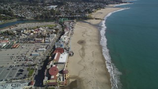
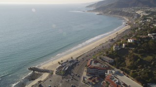
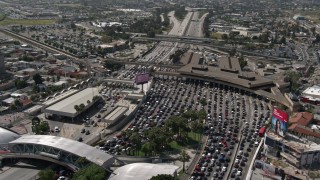
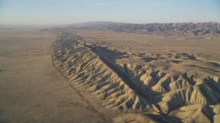
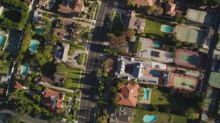
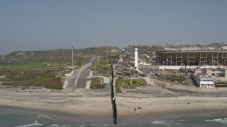
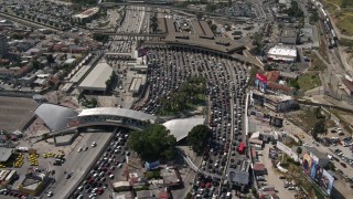
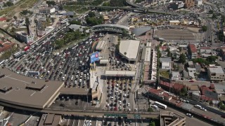
California Coastal Areas Stock Footage and Stock Videos - 1518 Results
1518 results of
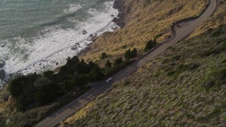
California Coastal Areas
Stock Footage and Videos in 1080, UHD, 4K & 5K
Display
60
120
240
600
Thumbnails
Small
Large
Sort by
Popular
Date (Newest to Oldest)
Date (Oldest to Newest)
Duration
Filter
1518 results found
«
1
2
3
...
26
»
DFKSF15_134
0:14
DCLA_136
0:22
DCA08_057E
0:50
DFKSF17_027
0:06
DCLA_117
0:19
DCA08_040E
0:57
DCA08_054E
0:48
DCA08_056
0:40
DCA08_018E
0:36
DCA08_105E
0:44
DCA08_046
0:15
DCSF11_001
0:14
DCA08_052E
0:47
AXSF02_005
1:00
DCA08_039
0:07
DCLA_125
0:13
DCA08_063
0:09
AXSF03_008
0:35
DCA08_060
0:33
DCLA_184
0:31
DCA08_109E
0:56
DCA08_090
0:16
DFKSF17_029
0:11
LD01_0011
0:18
DCA08_064
0:09
DCA08_087E
0:41
DCLA_121
0:27
DCA06_062
0:20
DFKSF16_122
0:13
DCA06_071
0:19
DCA08_180
0:23
AXSF03_094
0:44
DCSF11_039
0:11
AXSF02_006
0:59
DCA08_059
0:15
DCA08_196E
0:56
AX70_035
0:15
DFKSF16_035
0:11
DCLA_118
0:23
DFKSF17_032
0:14
DCA08_076
0:29
AX0015_031E
0:35
DFKSF15_137
0:20
DCSF11_032
0:11
AXSF03_070
0:39
DCLA_115
0:08
DCA08_304E
1:05
DCA08_081E
0:45
DCA05_130
0:28
AXSF03_004
0:27
DFKSF16_037
0:23
DCSF11_041
0:14
AX0161_030
0:11
DCA08_049E
0:46
DCA07_106
0:19
AX0161_033
0:21
AXSF03_095
0:23
DCSF11_003
0:14
DCLA_186
0:19
DCA07_175
0:14
1518 results found
«
1
2
3
...
26
»
New
Save
Share
View
Add All
Clear All
Untitled Playlist
(0)
PLAYLIST