The World's Best Aerials
Studio Quality. Indie Prices.
Contact
Blog
Faq
Account
Login / Signup
Videos
Photos
Aerial Stock Footage
Aerial Stock Photos
Playlist
Reels
Faq
Blog
Contact
Account
Login / Signup
Filter Results
Columbia River Gorge Stock Footage and Stock Videos - 125 Results
125 results of
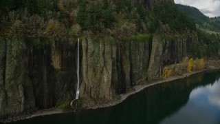
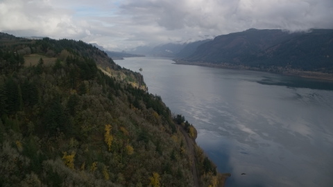
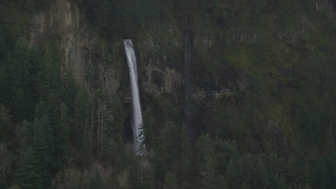
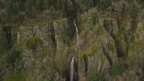
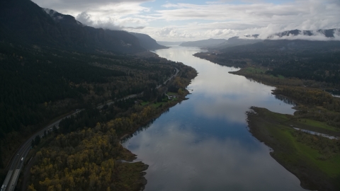
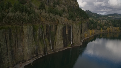
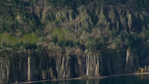
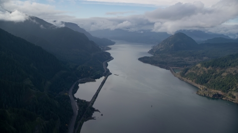
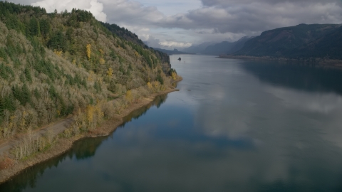
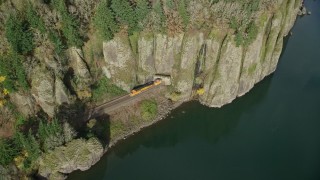
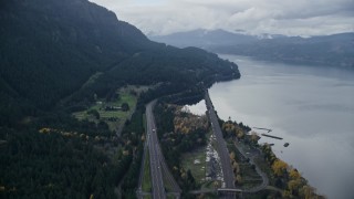
Columbia River Gorge
Stock Footage and Videos in 1080, UHD, 4K & 5K
Display
60
120
240
600
Thumbnails
Small
Large
Sort by
Popular
Date (Newest to Oldest)
Date (Oldest to Newest)
Duration
Filter
125 results found
«
1
2
3
»
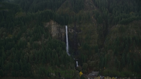
AX153_185.0000000F
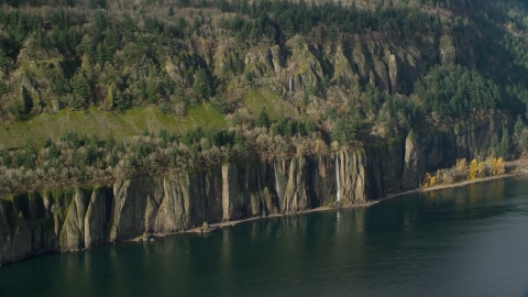
AX154_038.0000311F
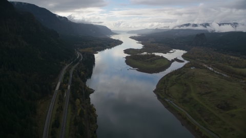
AX154_013.0000254F
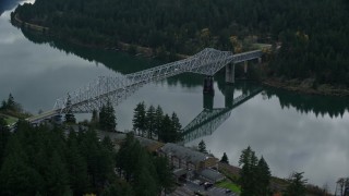
AX154_037.0000325F
AX154_029.0000253F
AX154_030.0000196F
AX154_195.0000171F
AX154_028.0000241F
AX154_024E
0:19
AX154_029.0000000F
AX154_034.0000246F
AX154_033.0000329F
AX154_177.0000071F
AX154_036.0000274F
AX154_028.0000000F
AX154_176.0000071F
AX154_020.0000226F
AX154_008.0000156F
AX154_195.0000295F
AX154_025.0000144F
AX154_189.0000367F
AX154_189.0000297F
AX154_008.0000000F
AX154_186.0000106F
AX154_189.0000235F
AX153_185.0000354F
AX154_029E
0:24
AX154_004.0000307F
AX154_027.0000278F
AX154_020.0000348F
AX154_195.0000000F
AX154_179.0000286F
AX154_172E
0:26
AX154_004E
0:30
AX154_175E
0:36
AX154_024.0000000F
AX153_185.0000228F
AX154_006E
0:29
AX153_184.0000301F
AX154_021.0000154F
AX154_011.0000174F
AX154_034E
0:39
AX154_165.0000339F
AX154_180.0000321F
AX153_187.0000002F
AX154_182.0000246F
AX154_006.0000281F
AX154_194.0000136F
AX154_156.0000000F
AX154_179E
0:51
AX154_193.0000228F
AX154_023.0000312F
AX154_193.0000000F
AX154_156E
0:36
AX154_157.0000279F
AX154_009.0000336F
AX154_153E
0:35
AX154_001.0000308F
AX154_012E
0:38
AX154_161E
0:39
125 results found
«
1
2
3
»
New
Save
Share
View
Add All
Clear All
Untitled Playlist
(0)
PLAYLIST