Filter Results

Loading..

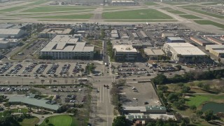
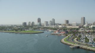
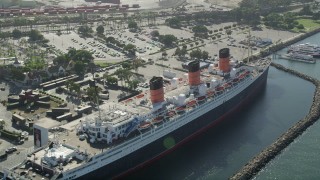
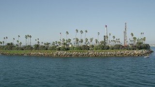
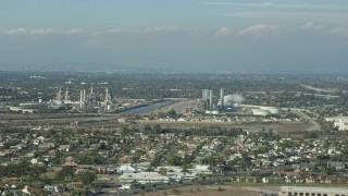
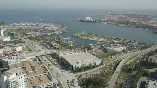
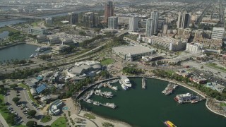
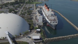
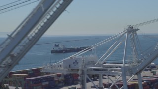
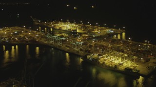
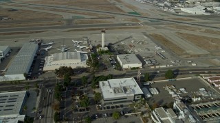
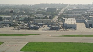
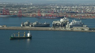
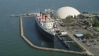
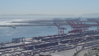
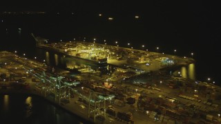
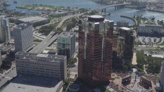
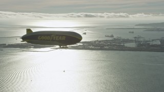
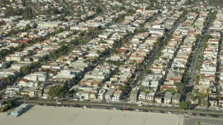
Long Beach, California Aerial Stock Footage - 171 Videos

171 results of Long Beach, California Aerial Stock Video Footage available in 5.1K RAW, HD 1080, 4K, 4K UHD, 4.8K RAW, 7.6K RAW, 4K UHD H264 & 4K LOG | Page 1 of 3

Display
Thumbnails
Sort by
171 results found
AX0161_008 - 7.6K aerial stock footage of a cruise ship and Queen Mary docked near Downtown Long Beach, California

AX0161_008

CAP_003_007 - HD stock footage aerial video orbit military planes at Long Beach Airport, California

CAP_003_007

AX68_136 - 4.8K aerial stock footage fly over lighthouse, Shoreline Aquatic Park, and aquarium to approach office buildings in Downtown Long Beach, California

AX68_136

AX68_130 - 4.8K aerial stock footage flyby Island Freeman oil drilling island in San Pedro Bay, Long Beach, California

AX68_130

DCA06_024 - 4K aerial stock footage approach RMS Queen Mary, tilt for bird's eye of ship, Long Beach, California

DCA06_024

AX0160_058 - 7.6K aerial stock footage of Belmont Shore residential neighborhood in Long Beach, California

AX0160_058

AX0016_103E - 5K aerial stock footage of track light traffic on I-605 by Long Beach Town Center and El Dorado East Regional Park, Long Beach, California

AX0016_103E

DCA06_038 - 4K aerial stock footage of Terminal Island and the Port of Long Beach, California

DCA06_038

AX0016_109E - 5K aerial stock footage tilt from East Warlow Road to reveal and approach parking garage at Long Beach Airport, California

AX0016_109E

AX68_135 - 4.8K aerial stock footage pass Shoreline Marina and village to approach Rainbow Harbor and Downtown Long Beach skyline, California

AX68_135

AX68_067 - 4.8K aerial stock footage flyby the RMS Queen Mary docked in Long Beach, California

AX68_067

AX68_128 - 4.8K aerial stock footage flyby Island Chaffee oil drilling island in San Pedro Bay, Long Beach, California

AX68_128

AX0160_067 - 7.6K aerial stock footage of a jet making its way to the runway at Long Beach Airport, California

AX0160_067

AX0160_068 - 7.6K aerial stock footage of a private jet taxiing down a runway at Long Beach Airport, California

AX0160_068

DCA06_021 - 4K aerial stock footage fly over restaurants, approaching Queen Mary, Downtown Long Beach, California

DCA06_021

AX68_066 - 4.8K aerial stock footage of starboard side of the RMS Queen Mary in Long Beach, California

AX68_066

DCA06_023 - 4K aerial stock footage of approaching the RMS Queen Mary, Long Beach, California

DCA06_023

DCA06_029 - 4K aerial stock footage of an oil tanker near Port of Long Beach, California

DCA06_029

AX0161_009 - 7.6K aerial stock footage of cranes loading containers onto a ship at the Port of Long Beach, California

AX0161_009

AX0161_001 - Aerial stock footage of Walter Pyramid at California State University Long Beach, California

AX0161_001

DCA07_147 - 4K aerial stock footage of orbiting an oil tanker sailing near Port of Long Beach, California, night

DCA07_147

DCA07_145 - 4K aerial stock footage tilt from cargo ship to wider view of Port of Long Beach, California, night

DCA07_145

DCA06_032 - 4K aerial stock footage fly low over ocean to approach oil tanker, tugboat, Long Beach, California

DCA06_032

AX0160_061 - 7.6K aerial stock footage of the Goodyear Blimp approaching the airport, Downtown LA skyline in background, Long Beach, California

AX0160_061

AX0161_006E - 7.6K aerial stock footage of the Port of Long Beach, Los Angeles River, and Downtown Long Beach, California

AX0161_006E

AX68_068 - 4.8K aerial stock footage reverse view of the Queen Mary luxury liner and reveal Downtown Long Beach, California

AX68_068

DCA06_041 - 4K aerial stock footage of flying by cargo containers, cranes, reveal cargo ship, Port of Long Beach, California

DCA06_041

AX68_059 - 4.8K aerial stock footage of the Hyatt Regency Long Beach and Convention Center in Downtown Long Beach, California

AX68_059

DCA07_144 - 4K aerial stock footage pan across cargo containers, reveal cargo ship, cranes, Port of Long Beach, California, night

DCA07_144

AX0160_054 - 7.6K aerial stock footage of LADWP Haynes Generating Station behind residential neighborhoods in Long Beach, California

AX0160_054

DCA07_136 - 4K aerial stock footage of approaching cargo ship and cranes at Port of Long Beach, California, night

DCA07_136

AX68_052 - 4.8K aerial stock footage approach Rainbow Harbor, aquarium, and the Queen Mary in Long Beach, California

AX68_052

AX68_061 - 4.8K stock footage video of Aquarium of the Pacific, boats in Rainbow Harbor, and office buildings in Downtown Long Beach, California

AX68_061

DCA06_025 - 4K aerial stock footage fly away from RMS Queen Mary, reveal Carnival Cruise Lines terminal, Long Beach, California

DCA06_025

WA005_011 - 4K stock footage aerial video of a bird's eye view of clouds over ocean at sunset by Long Beach, California

WA005_011

DCA06_022 - 4K aerial stock footage of approaching the Queen Mary from Downtown Long Beach, California

DCA06_022

AX0016_115 - 5K aerial stock footage approach and land next to a private jet, Long Beach Airport, California

AX0016_115

CAP_003_006 - HD stock footage aerial video approach hangars at Long Beach Airport, California

CAP_003_006

DCA07_148 - 4K aerial stock footage of an orbit of an oil tanker sailing near Port of Long Beach, California, night

DCA07_148

DCA06_030 - 4K aerial stock footage of an oil tanker seen from cargo cranes at Port of Long Beach, California

DCA06_030

DCA07_139 - 4K aerial stock footage of approaching cargo containers, cranes at the Port of Long Beach, California, night

DCA07_139

AX0160_066 - 7.6K aerial stock footage approaching the control tower and runways at Long Beach Airport, California

AX0160_066

AX0016_113 - 5K aerial stock footage flyby three C-17 Globemasters at Long Beach Airport, California

AX0016_113

AX68_048 - 4.8K aerial stock footage reverse bird's eye view of the Los Angeles River, reveal freeway interchange in Long Beach, California

AX68_048

AX68_051 - 4.8K aerial stock footage fly over office buildings to approach the harbors and Queen Mary in Long Beach, California

AX68_051

AX0160_055E - 7.6K aerial stock footage of coastal neighborhoods around an inlet and Alamitos Bay in Long Beach, California

AX0160_055E

AX0160_060 - 7.6K aerial stock footage of office high-rises in Downtown Long Beach, California

AX0160_060

AX68_070 - 4.8K aerial stock footage orbit the RMS Queen Mary in Long Beach, California

AX68_070

AX0160_064E - 7.6K aerial stock footage of the Goodyear Blimp flying over Long Beach, California

AX0160_064E

DCA07_137 - 4K aerial stock footage fly over cargo ship, cranes, containers at Port of Long Beach, California, night

DCA07_137

DCA07_150 - 4K aerial stock footage of flying by the Port of Long Beach, Long Beach, California, night

DCA07_150

AX0161_010E - 7.6K aerial stock footage of Sea Launch ship docked near vessels at the Port of Long Beach, California

AX0161_010E

AX0016_112 - 5K aerial stock footage of civilian jets parked near a hangar at Long Beach Airport, California

AX0016_112

AX68_064 - 4.8K aerial stock footage tilt to reveal the Queen Mary Docked in Long Beach, California

AX68_064

DCA06_039 - 4K aerial stock footage of flying by cargo containers, cranes at Port of Long Beach, California

DCA06_039

DCA06_037 - 4K aerial stock footage fly away from an oil tanker, pan across breakwater, Long Beach, California

DCA06_037

DCA07_140 - 4K aerial stock footage of approaching cargo containers, cranes, Port of Long Beach, California, night

DCA07_140

DCA06_020 - 4K aerial stock footage tilt from office building to reveal RMS Queen Mary, Downtown Long Beach, California

DCA06_020

AX0161_005 - 7.6K aerial stock footage of the Goodyear Blimp flying by Downtown Long Beach, California

AX0161_005

AX0160_059 - 7.6K aerial stock footage of Belmont Shore neighborhoods near the beach in Long Beach, California

AX0160_059

171 results found
New   Save View   Add All Clear All Untitled Playlist(0)