Filter Results

Loading..

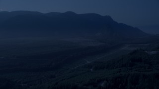
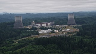
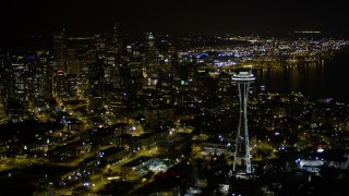
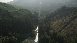
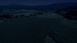
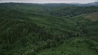
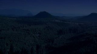
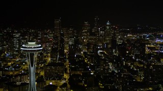
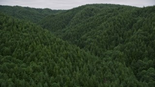
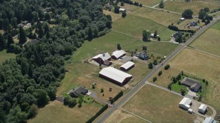
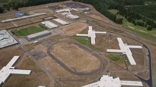
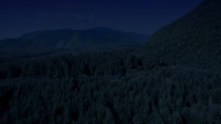
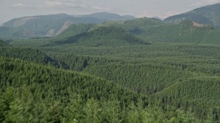
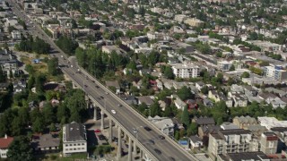
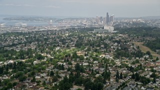
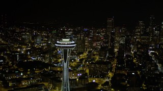
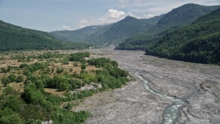
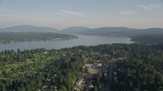
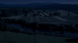
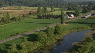
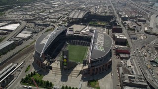
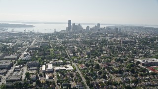
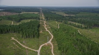
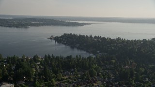
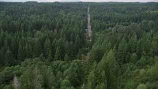
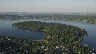
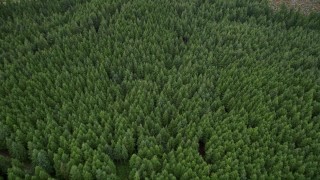
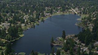
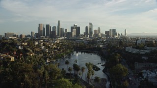
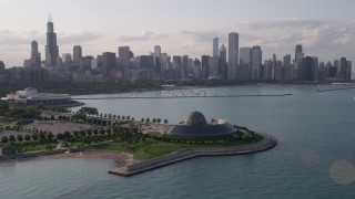
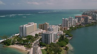
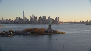
Washington Aerial Stock Footage - 1144 Videos

1144 results of Washington Aerial Stock Video Footage available in 5.1K RAW, HD 1080, 4K UHD, 5.5K RAW, 4K, 4K UHD H264, 4K LOG & 5.7K D-LOG | Page 1 of 20

Display
Thumbnails
Sort by
1144 results found
AX46_034E - 5K aerial stock footage orbiting office buildings around The Commons and a soccer field, Microsoft Headquarters, Redmond, Washington

AX46_034E

AX46_038 - 5K aerial stock footage flying by sports fields and Interlake High School, Bellevue, Washington

AX46_038

AX45_039 - 5K aerial stock footage tilting up from Elliott Bay to reveal Downtown Seattle skyline, Washington

AX45_039

AX48_076E - 5K aerial stock footage of flying over dense evergreen forest in King County, Washington

AX48_076E

AX46_045 - 5K aerial stock footage of East Channel Bridge spanning Lake Washington between Mercer Island and Bellevue, Washington

AX46_045

AX48_050 - 5K aerial stock footage fly over evergreen trees in a vast forest in King County, Washington

AX48_050

AX49_038 - 5K aerial stock footage of Microsoft Headquarter office complex, Redmond, Washington

AX49_038

AX48_073_DFN - 4K day for night color corrected aerial stock footage of flying low over an evergreen forest, King County, Washington

AX48_073_DFN

AX48_067_DFN - 4K day for night color corrected aerial stock footage of a forest road through newer forest growth area near the Cascade Range, King County, Washington

AX48_067_DFN

AX57_016 - 5K aerial stock footage of a view of the Satsop Nuclear Power Plant facility in Satsop, Washington

AX57_016

AX51_067E - 5K aerial stock footage flyby the Space Needle to approach Downtown Seattle skyscrapers, Washington. night

AX51_067E

AX48_068E - 5K aerial stock footage of following a river through the forest, King County, Washington

AX48_068E

AX46_033 - 5K aerial stock footage flying by a soccer field by the Commons at Microsoft Headquarters campus, Redmond, Washington

AX46_033

AX47_053E - 5K aerial stock footage fly over Seattle Center and by Space Needle to approach skyscrapers in Downtown Seattle, Washington

AX47_053E

AX48_050_DFN - 4K day for night color corrected aerial stock footage of evergreen trees in a vast forest in King County, Washington

AX48_050_DFN

AX45_139E - 5K aerial stock footage of Boeing Everett Factory and rows of airliners at Paine Field airport, Everett, Washington

AX45_139E

AX45_142 - 5K aerial stock footage of Boeing Everett Factory airplane assembly building, Paine Field, Washington

AX45_142

AX45_136 - 5K aerial stock footage of the Boeing Everett Factory at Paine Field, Washington

AX45_136

AX49_035 - 5K aerial stock footage of Interlake High School in Bellevue, Washington

AX49_035

AX58_008 - 5K aerial stock footage fly over lakeside homes and docks at Lake Limerick, Shelton, Washington

AX58_008

AX45_144 - 5K aerial stock footage approach the Boeing Everett Factory and tilt to the roof, Paine Field, Everett, Washington

AX45_144

AX45_145 - 5K aerial stock footage fly over Boeing Everett Factory to approach parking lots, Paine Field, Washington

AX45_145

AX56_177E - 5K aerial stock footage of a forest of evergreen trees in Pacific County, Washington

AX56_177E

AX51_026 - 5K aerial stock footage of a view of Downtown Seattle skyscrapers, reveal the Space Needle, Washington, night

AX51_026

AX51_018 - Aerial stock footage of 5K aerial  video of the Seattle Great Wheel and Waterfront piers, and Downtown Seattle skyline in Washington, nighttime

AX51_018

AX48_040_DFN - 4K day for night color corrected aerial stock footage of crop fields and a country road near a greenhouse in Carnation, Washington

AX48_040_DFN

AX48_077_DFN - 4K day for night color corrected aerial stock footage of evergreen forest, reveal a green hill and logging areas in King County, Washington

AX48_077_DFN

AX56_184E - 5K aerial stock footage of flying over evergreen forest covering a hill in Pacific County, Washington

AX56_184E

AX52_082 - 5K aerial stock footage tilt to bird's eye view of farmhouse and barns beside country road in La Center, Washington

AX52_082

AX45_072E - 5K aerial stock footage approaching the Waterfront and Downtown Seattle skyline from Elliott Bay, Washington

AX45_072E

AX45_141 - 5K aerial stock footage of flying by the Boeing Everett Factory by Paine Field, Washington

AX45_141

AX57_035 - 5K aerial stock footage fly over the Washington Corrections Center, Shelton, Washington

AX57_035

AX47_078 - 5K aerial stock footage fly away from Ship Canal Bridge and tilt to reveal Lake Union and the skyline of Downtown Seattle, Washington

AX47_078

AX48_053_DFN - 4K day for night color corrected aerial stock footage of flying over a wooded mountain in King County, Seattle, Washington

AX48_053_DFN

AX51_074E - 5K aerial stock footage orbit top of the Space Needle to reveal and focus on Downtown Seattle skyscrapers, Washington, night

AX51_074E

AX45_056E - 5K aerial stock footage flying by Space Needle to approach the Downtown Seattle skyline, Washington

AX45_056E

AX48_056_DFN - 4K day for night color corrected aerial stock footage of evergreen forest to reveal a road in King County, Washington

AX48_056_DFN

WA004_052 - 4K stock footage aerial video fly through misty clouds toward more clouds over Washington

WA004_052

AX48_052 - 5K aerial stock footage fly over evergreen trees to reveal a green hill in King County, Washington

AX48_052

AX47_067 - 5K aerial stock footage fly over Lake Union to approach Aurora Bridge and light traffic crossing the span, Seattle, Washington

AX47_067

AX45_009 - 5K aerial stock footage of Seattle skyline seen from residential neighborhoods, Beacon Hill, Seattle, Washington

AX45_009

AX51_051E - 5K aerial stock footage fly over skyscrapers in Downtown Seattle to approach the Space Needle, Washington, night

AX51_051E

AX51_030 - 5K aerial stock footage orbit the Space Needle and reveal Downtown Seattle skyscrapers in Washington at night

AX51_030

AX49_034 - 5K aerial stock footage of Lake Sammamish seen from suburban neighborhoods in Bellevue, Washington

AX49_034

AX45_091E - 5K aerial stock footage flying by CenturyLink Field, with a view of the field inside the stadium, Downtown Seattle, Washington

AX45_091E

AX49_039E - 5K aerial stock footage orbit Microsoft Headquarters office buildings around The Commons soccer field, Redmond, Washington

AX49_039E

AX48_037_DFN - 4K day for night color corrected aerial stock footage of the Snoqualmie River and farm fields in Carnation, Washington

AX48_037_DFN

AX47_015E - 5K aerial stock footage tilt from park to reveal urban homes in Central Seattle and the Downtown Seattle skyline, Washington

AX47_015E

AX45_012 - 5K aerial stock footage flying by airliners parked by a hangar at Boeing Field, Seattle, Washington, as a smaller plane lands

AX45_012

AX49_018 - 5K aerial stock footage of tracking a white van on a country road through farmland, Carnation, Washington

AX49_018

AX47_060 - 5K aerial stock footage of orbiting the top of 1201 Third Avenue Tower, Downtown Seattle, Washington

AX47_060

AX58_031E - 5K aerial stock footage of Wright Bliss Road through evergreen forest in Gig Harbor, Washington

AX58_031E

AX48_054_DFN - 4K day for night color corrected aerial stock footage of flying over wooded mountain slope toward a clear cut area, King County, Washington

AX48_054_DFN

AX56_160 - 5K aerial stock footage tilt to a bird's eye view of evergreen forest in Pacific County, Washington

AX56_160

AX49_098 - 5K aerial stock footage of Bailey Peninsula and Andrews Bay on Lake Washington

AX49_098

AX52_033E - 5K aerial stock footage of low flight over North Fork Toutle River, approach Mount St. Helens, Washington

AX52_033E

AX49_051E - 5K aerial stock footage fly over suburban neighborhoods toward waterfront homes on Lake Washington, Bellevue, Washington

AX49_051E

AX56_162 - 5K aerial stock footage of a bird's eye view of an evergreen forest in Pacific County, Washington

AX56_162

AX47_140 - 5K aerial stock footage of approaching the Pacific Tower on Beacon Hill, Seattle, Washington

AX47_140

AX46_006E - 5K aerial stock footage flyby lakefront homes around Lake Serene, Lynnwood, Washington

AX46_006E

1144 results found
New   Save View   Add All Clear All Untitled Playlist(0)