Filter Results

Loading..

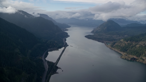
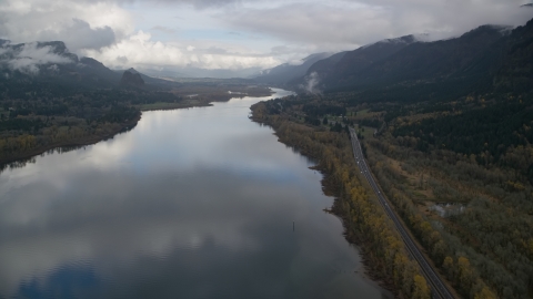
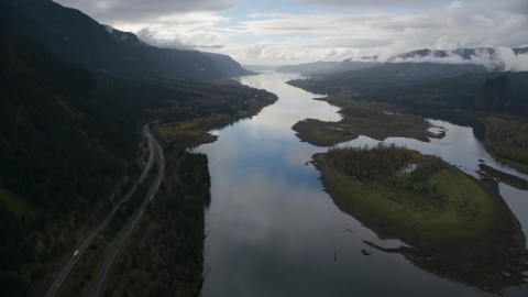
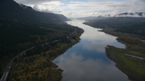
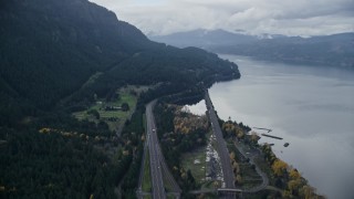
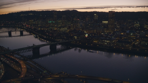
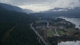
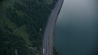
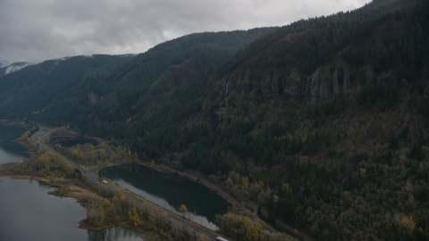
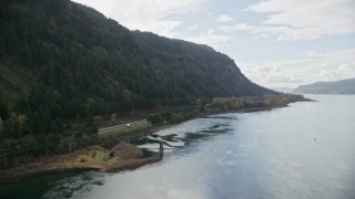
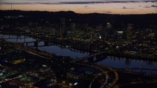
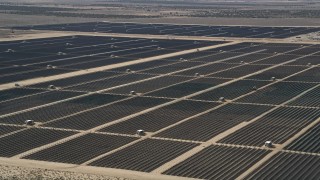
Interstate 84 Stock Footage and Stock Videos - 35 Results

35 results of Interstate 84 Stock Footage and Videos in 1080, UHD, 4K & 5K

Display
Thumbnails
Sort by
35 results found
AX154_034.0000246F - Aerial stock photo of The Bonneville Dam and the Columbia River in the Columbia River Gorge

AX154_034.0000246F

AX154_025.0000144F - Aerial stock photo of I-84 and islands in the Columbia River Gorge

AX154_025.0000144F

AX154_189.0000367F - Aerial stock photo of Interstate 84 and Multnomah Falls on a cliff face of the Columbia River Gorge

AX154_189.0000367F

AX154_189.0000297F - Aerial stock photo of I-84 highway by Multnomah Falls on a cliff face of the Columbia River Gorge

AX154_189.0000297F

AX154_189.0000235F - Aerial stock photo of The I-84 highway below Multnomah Falls on a cliff face of the Columbia River Gorge

AX154_189.0000235F

AX154_179.0000286F - Aerial stock photo of The Columbia River and I-84 highway near islands in Columbia River Gorge

AX154_179.0000286F

AX154_165.0000339F - Aerial stock photo of I-84 and the small town of Cascade Locks, Oregon in Columbia River Gorge

AX154_165.0000339F

AX154_180.0000321F - Aerial stock photo of Columbia River and the I-84 highway by islands in the Columbia River Gorge

AX154_180.0000321F

AX154_034E - 5.5K aerial stock footage orbiting the Bonneville Dam in the Columbia River Gorge

AX154_034E

AX154_182.0000246F - Aerial stock photo of Interstate 84 and the Columbia River in Columbia River Gorge

AX154_182.0000246F

AX154_156.0000000F - Aerial stock photo of The I-84 highway at the base of mountains in Columbia River Gorge

AX154_156.0000000F

AX154_023.0000312F - Aerial stock photo of The Columbia River and I-84 through Columbia River Gorge, Multnomah County, Oregon

AX154_023.0000312F

AX154_179E - 5.5K aerial stock footage following Columbia River and I-84 highway, flyby islands in Columbia River Gorge

AX154_179E

AX154_157.0000279F - Aerial stock photo of The Columbia River and the I-84 highway in Columbia River Gorge

AX154_157.0000279F

AX155_278.0000359F - Aerial stock photo of Freeway interchange, Willamette River, Burnside Bridge, and Downtown Portland, Oregon at sunset

AX155_278.0000359F

AX154_156E - 5.5K aerial stock footage approaching the I-84 highway at the base of mountains in Columbia River Gorge

AX154_156E

AX154_022.0000310F - Aerial stock photo of Highway beside the Columbia River Gorge on the Multnomah County, Oregon side of the river

AX154_022.0000310F

AX154_169E - 5.5K aerial stock footage flying over forest by Interstate 84 to approach Bridge of the Gods, Cascade Locks, Oregon in Columbia River Gorge

AX154_169E

AX154_022.0000000F - Aerial stock photo of The Columbia River Gorge on the Multnomah County, Oregon side of the river

AX154_022.0000000F

AX154_161E - 5.5K aerial stock footage flying over light traffic on Interstate 84 in Columbia River Gorge

AX154_161E

AX155_278E - 5.5K aerial stock footage fly over freeway interchange, Willamette River, Burnside Bridge, and Downtown Portland, Oregon at twilight

AX155_278E

AX155_420E - 5.5K aerial stock footage following I-5 over interchange to approach Moda Center and convention Center at night in Northeast Portland, Oregon

AX155_420E

AX154_017E - 5.5K aerial stock footage approaching a waterfall on a Columbia River Gorge cliff in Multnomah County, Oregon

AX154_017E

AX154_165E - 5.5K aerial stock footage approaching and flying over I-84 and the small town of Cascade Locks, Oregon in Columbia River Gorge

AX154_165E

AX154_190E - 5.5K aerial stock footage flying by Interstate 84 highway with light traffic on the Oregon side of Columbia River Gorge

AX154_190E

AX154_017.0000351F - Aerial stock photo of A waterfall on a Columbia River Gorge cliff in Multnomah County, Oregon

AX154_017.0000351F

AX154_159E - 5.5K aerial stock footage of a bird's eye view of light traffic on Interstate 84 in Columbia River Gorge, Hood River County, Oregon

AX154_159E

AX154_189 - 5.5K aerial stock footage approaching the I-84 highway and reveal Multnomah Falls on a cliff face of the Columbia River Gorge

AX154_189

AX154_022E - 5.5K aerial stock footage following the Columbia River Gorge on the Multnomah County, Oregon side of the river

AX154_022E

AX154_170.0000035F - Aerial stock photo of Evergreens by Interstate 84 in the town of Cascade Locks, Oregon in Columbia River Gorge

AX154_170.0000035F

AX155_298.0000000F - Aerial stock photo of Downtown skyscrapers, Willamette River bridges, and freeway interchange at night, Downtown Portland, Oregon

AX155_298.0000000F

AX154_183 - 5.5K aerial stock footage following Interstate 84 through the Columbia River Gorge

AX154_183

AX155_298 - 5.5K aerial stock footage of a reverse view of downtown skyscrapers, Willamette River bridges, and freeway interchange at night, Downtown Portland, Oregon

AX155_298

AX155_297 - 5.5K aerial stock footage of Downtown skyscrapers, Willamette River bridges, freeway interchange, and White Stag sign at night, Downtown Portland, Oregon

AX155_297

AX154_188 - 5.5K aerial stock footage approaching the I-84 highway in the Columbia River Gorge, on the Oregon side

AX154_188

35 results found
New   Save View   Add All Clear All Untitled Playlist(0)