Filter Results

Loading..

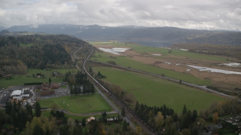
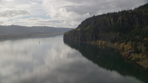
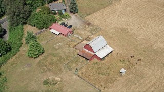
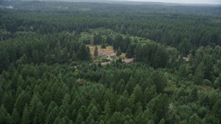
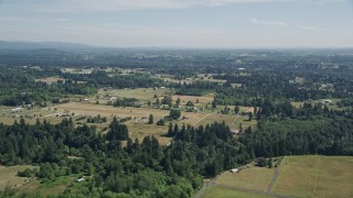
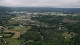
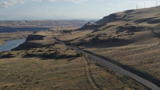
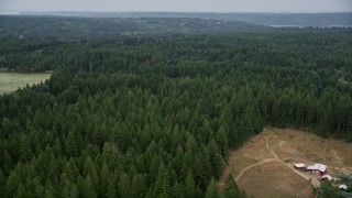
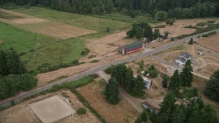
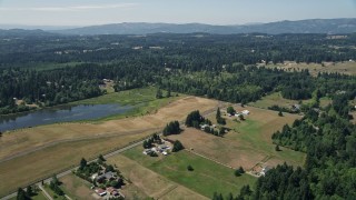
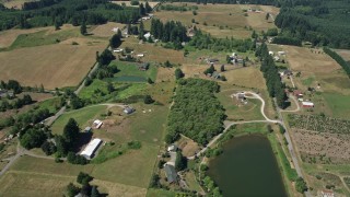
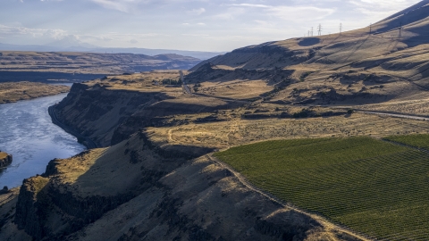
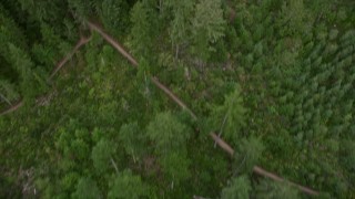
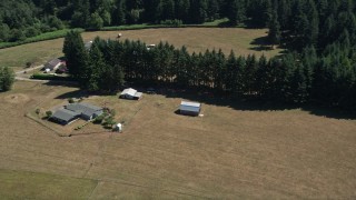
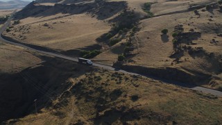
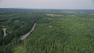
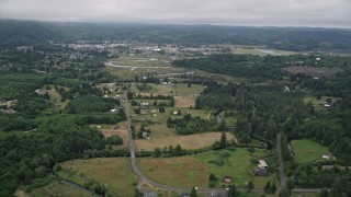
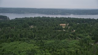
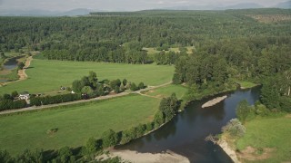
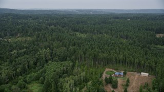
Rural Washington Stock Footage and Stock Videos - 89 Results

89 results of Rural Washington Stock Footage and Videos in 1080, UHD, 4K & 5K

Display
Thumbnails
Sort by
89 results found
AX48_040_DFN - 4K day for night color corrected aerial stock footage of crop fields and a country road near a greenhouse in Carnation, Washington

AX48_040_DFN

AX52_082 - 5K aerial stock footage tilt to bird's eye view of farmhouse and barns beside country road in La Center, Washington

AX52_082

AX48_037_DFN - 4K day for night color corrected aerial stock footage of the Snoqualmie River and farm fields in Carnation, Washington

AX48_037_DFN

AX49_018 - 5K aerial stock footage of tracking a white van on a country road through farmland, Carnation, Washington

AX49_018

AX52_018E - 5K aerial stock footage of reverse view of Mayfield Lake, reveal Highway 12 bridge, Washington

AX52_018E

AX48_039_DFN - 4K day for night color corrected aerial stock footage of tall trees and the Snoqualmie River near crop fields in Carnation, Washington

AX48_039_DFN

AX48_027_DFN - 4K day for night color corrected aerial stock footage of farmland in Carnation, Washington

AX48_027_DFN

AX48_034E - 5K aerial stock footage fly over green field, trees, and a bend in the river to reveal a golf course, Carnation, Washington

AX48_034E

AX153_177.0000272F - Aerial stock photo of Train traveling by fields in Washougal, Washington

AX153_177.0000272F

AX153_177.0000000F - Aerial stock photo of A train traveling by fields and country road in Washougal, Washington

AX153_177.0000000F

AX48_039E - 5K aerial stock footage fly over tall trees and the Snoqualmie River to crop fields in Carnation, Washington

AX48_039E

AX58_058E - 5K aerial stock footage fly over livestock in a pasture to approach small farms on Vashon Island, Washington

AX58_058E

AX52_074E - 5K aerial stock footage flyby and approach a red barn by farm fields in La Center, Washington

AX52_074E

AX154_008.0000156F - Aerial stock photo of An isolated home overlooking the river in Columbia River Gorge, Washington

AX154_008.0000156F

AX57_017 - 5K aerial stock footage of farms and crop fields in Satsop, Washington

AX57_017

AX154_008.0000000F - Aerial stock photo of Isolated home beside the river in Columbia River Gorge, Washington

AX154_008.0000000F

AX52_071E - 5K aerial stock footage of small farms, fields and country roads in La Center, Washington

AX52_071E

AX58_029E - 5K aerial stock footage of following Wright Bliss Road through Gig Harbor, Washington, and over evergreen forest

AX58_029E

DX0001_019_031 - 5.7K aerial stock footage of a big rig traveling on Lewis and Clark Highway in Goldendale, Washington

DX0001_019_031

AX56_174E - 5K aerial stock footage of small town of Raymond, Washington beside the Willapa River

AX56_174E

DXP001_019_0026 - Aerial stock photo of Lewis and Clark Highway in Goldendale, Washington

DXP001_019_0026

AX52_076 - 5K aerial stock footage of a large farmhouse with red barns, La Center, Washington

AX52_076

DX0001_019_038 - 5.7K aerial stock footage of Lewis and Clark Highway seen from Maryhill Winery in Goldendale, Washington

DX0001_019_038

AX58_009 - 5K aerial stock footage fly over evergreens near homes by East Mason Lake Road, Shelton, Washington

AX58_009

AX58_045E - 5K aerial stock footage tilt from rural homes to approach marsh in Burley Lagoon, Gig Harbor, Washington

AX58_045E

AX49_017 - 5K aerial stock footage of flying by a country road by a field of crops, Carnation, Washington

AX49_017

AX52_016E - 5K aerial stock footage fly away from farms, fields, and Mayfield Lake in Silver Creek, Washington

AX52_016E

AX58_033E - 5K aerial stock footage follow road and power lines through forest past rural homes in Gig Harbor, Washington

AX58_033E

DX0001_019_030 - 5.7K aerial stock footage of ascending beside a dirt road to reveal Lewis and Clark Highway in Goldendale, Washington

DX0001_019_030

DX0001_019_039 - 5.7K aerial stock footage of Lewis and Clark Highway in Goldendale, Washington

DX0001_019_039

AX58_050E - 5K aerial stock footage of rural homes and evergreen forest by Nelson Road, Olalla, Washington

AX58_050E

AX52_081 - 5K aerial stock footage flyby small farms and evergreen trees in La Center, Washington

AX52_081

AX58_043 - 5K aerial stock footage farm with a large red barn by a country road in Gig Harbor, Washington

AX58_043

AX56_173 - 5K aerial stock footage of small farms around Fowler Road by the Willapa River near the small town of Raymond, Washington

AX56_173

AX48_041 - 5K aerial stock footage fly over farm fields and country roads to approach forest in Fall City, Washington

AX48_041

AX58_041 - 5K aerial stock footage of bird's eye view of evergreens, and reveal dirt roads in Gig Harbor, Washington

AX58_041

AX52_073 - 5K aerial stock footage of farms and fields near a small pond in La Center, Washington

AX52_073

AX154_197E - 5.5K aerial stock footage of a bird's eye view of Highway 14 through forest, tilt to reveal an isolate home and green fields, Washougal, Washington

AX154_197E

DXP001_019_0017 - Aerial stock photo of Vineyard between cliffs and Lewis and Clark Highway in Goldendale, Washington

DXP001_019_0017

AX52_080 - 5K aerial stock footage of small barn next to a farmhouse in La Center, Washington

AX52_080

AX49_019 - 5K aerial stock footage of tracking a silver SUV on a road through a rural neighborhood, Carnation, Washington

AX49_019

AX58_052E - 5K aerial stock footage fly over rural homes in an evergreen forest, and approach Colvos Passage, Olalla, Washington

AX58_052E

AX52_079 - 5K aerial stock footage fly over farms, fields, and evergreen trees in La Center, Washington

AX52_079

DXP001_019_0025 - Aerial stock photo of The Lewis and Clark Highway seen from Maryhill Winery in Goldendale, Washington

DXP001_019_0025

AX48_037 - 5K aerial stock footage fly over the Snoqualmie River to approach farm fields in Carnation, Washington

AX48_037

AX58_048E - 5K aerial stock footage fly over evergreen forest and reveal rural homes in Olalla, Washington

AX58_048E

AX58_026E - 5K aerial stock footage fly over forest and rural homes in Vaughn, Washington

AX58_026E

AX58_061E - 5K aerial stock footage fly over small farms and rural homes on the way to the shore of Vashon Island, Washington

AX58_061E

DX0001_019_028 - 5.7K aerial stock footage fly over vineyard toward Lewis and Clark Highway in Goldendale, Washington

DX0001_019_028

AX154_201 - 5.5K aerial stock footage flying over railroad tracks and Highway 14 beside forest near rural homes in Washougal, Washington

AX154_201

AX58_038E - 5K aerial stock footage fly over the fields of a small farm in Gig Harbor, Washington

AX58_038E

AX49_014 - 5K aerial stock footage of flying by a small ranch on the edge of an evergreen forest, Carnation, Washington

AX49_014

AX52_084 - 5K aerial stock footage of small farms and fields with trees in Ridgefield, Washington

AX52_084

AX58_047 - 5K aerial stock footage fly by State Route 16 and a couple of upscale homes in Olalla, Washington

AX58_047

AX49_015E - 5K aerial stock footage of flying by evergreen forest to reveal farm fields, Carnation, Washington

AX49_015E

AX52_067 - 5K aerial stock footage of farms and farm fields in Amboy, Washington

AX52_067

AX52_095 - 5K aerial stock footage flyby farms and green fields near the Columbia River in Vancouver, Washington

AX52_095

AX48_018E - 5K aerial stock footage fly over lakefront homes with docks and trees, tilt to approach rural homes and Pine Lake, Sammamish, Washington

AX48_018E

AX58_014 - 5K aerial stock footage of rural homes and buildings beside Mason Benson Road, Grapeview, Washington

AX58_014

AX48_038 - 5K aerial stock footage of tracking a sedan traveling on a country road by farmland in Carnation, Washington

AX48_038

89 results found
New   Save View   Add All Clear All Untitled Playlist(0)