The World's Best Aerials
Studio Quality. Indie Prices.
Contact
Blog
Faq
Account
Login / Signup
Videos
Photos
Aerial Stock Footage
Aerial Stock Photos
Playlist
Reels
Faq
Blog
Contact
Account
Login / Signup
Nature
>
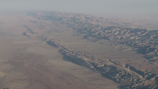
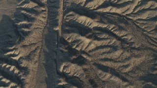
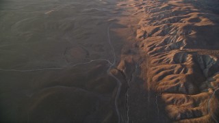
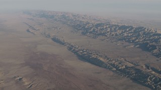
Geological Faultlines
Filter Results
Geological Faultlines Aerial Stock Footage - 38 Videos
38 results of
Geological Faultlines
Aerial Stock Video Footage available in 5.1K RAW, 4K UHD, 4K, 4K UHD H264 & 4K LOG | Page 1 of 1
Display
60
120
240
600
Thumbnails
Small
Large
Sort by
Popular
Date (Newest to Oldest)
Date (Oldest to Newest)
Duration
Filter
38 results found
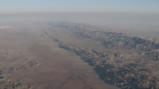
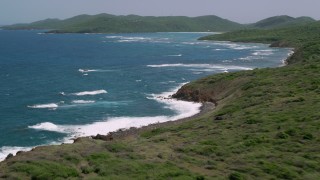
AXSF17_034
0:06
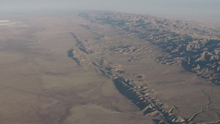
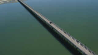
AX70_035
0:15
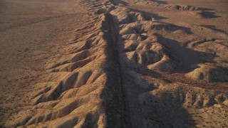
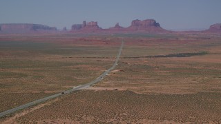
AXSF17_036
0:11
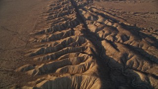
AXSF17_040
0:20
AX70_037
0:15
AX70_045
0:12
AX70_041
0:15
AX70_044
0:12
AX70_042
0:15
AX70_034
0:12
AX70_043
0:11
AXSF17_041
0:24
AXSF17_037
0:14
AXSF17_051
0:21
AXSF17_027
0:08
AXSF17_046
0:10
AX70_040
0:15
AX70_036
0:15
AX70_049
0:15
AXSF17_054
0:10
AX70_039
0:09
AX70_038
0:15
AXSF17_038
0:11
AXSF17_053
0:14
AXSF17_039
0:23
AXSF17_047
0:13
AXSF17_050
0:18
AXSF17_035
0:11
AXSF17_042
0:11
AX70_051
0:15
AXSF17_049
0:15
AXSF17_045
0:16
AX70_047
0:17
AXSF17_048
0:14
AX70_048
0:15
AX70_050
0:15
AX70_046
0:15
AX70_052
0:12
38 results found
New
Save
Share
View
Add All
Clear All
Untitled Playlist
(0)
PLAYLIST