The World's Best Aerials
Studio Quality. Indie Prices.
Contact
Blog
Faq
Account
Login / Signup
Videos
Photos
Aerial Stock Footage
Aerial Stock Photos
Playlist
Reels
Faq
Blog
Contact
Account
Login / Signup
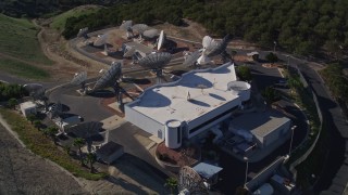
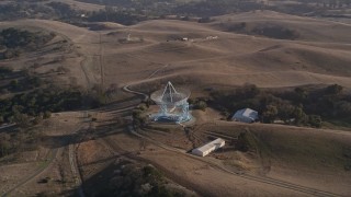
Scientific Facilities
>
Satellite Dishes
Filter Results
Satellite Dishes Aerial Stock Footage and Photos - 11 Results
11 results of
Satellite Dishes
Aerial Stock Video Footage and Photos available in 5.1K RAW, 4K, 4.8K RAW, JPG, 4K UHD H264, 4K LOG & 4.8K LOG | Page 1 of 1
Display
60
120
240
600
Thumbnails
Small
Large
Sort by
Popular
Date (Newest to Oldest)
Date (Oldest to Newest)
Duration
Filter
11 results found
AXSF12_050
0:12
AXSF12_052
0:19
AXSF01_005
0:05
AXP076_000_0003F
AXSF12_051
0:17
AXSF01_006
0:39
AX77_021
0:18
AXSF12_049
0:13
DCA08_224
0:26
DCA08_223
0:26
AX76_035
0:10
11 results found
New
Save
Share
View
Add All
Clear All
Untitled Playlist
(0)
PLAYLIST